.


;

Harry S.Truman Dam and Reservoir Map

Boat Gas prices on the water of the Lake of the Ozarks

Download Google Earth Free

Microsoft Live Map Search

Stormtracker 3 Live Doppler Radar Loop

Topo Maps

USGS aerial imagery and USGS topographic maps

Lake Ozark Marinas

Missouri Rivers Map

Truman Dam

Fishing in the News

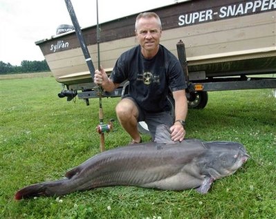
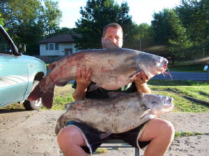
This photo below was provided by Ohio Department of Natural Resources.
 
 Chris Rolph poses with his catch of blue catfish, weighing 96 lbs. in the Ohio River near downtown Cincinnati on June 11, 2009 . Rolph's catch is 54.5 inches in length with a 36 inch girth. His catch is awaiting certification as the new state record blue catfish pending review by the Outdoor Writers of Ohio State Record Fish Committee. It will replace the first ever state record blue catfish certified in 2008 of 57 pounds 3.2 ounces.

(AP Photo/Ohio Department of Natural Resources)

This embeded Video is provided by LOCAL 12 News program, Sorry about the second video, I cant seperate them.

www.local12.com/mostpopular/story/Record-Catfish-Caught-In-The-Ohio

"More News listed below"

Overton Bottoms on the Missouri River

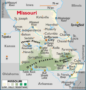
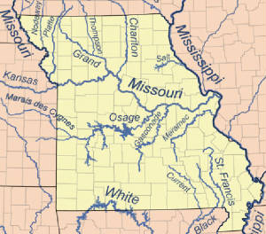
Take exit 111 off Interstate 70 east of Boonville and west of Columbia, Missouri. Go north just 100 yards to Hwy 98. Turn right on 98 and drive 2 miles to Taylor's Landing.

View of Manitou Bluffs from Taylor's Landing


News widgets and RSS feeds on Feedzilla.com

Missouri River, Sibley, Mo


Lap Dancing

Bagnel Dam

bagnal.jpg

The History of the Bagnell Dam
 

Click Here

Bagnell Dam is my favorite place to get shad, you can go all the way up to the dam and catch bait.
 
Throw your net out and let it sink about 3 or 4 seconds and haul them up, watch out for the monster rocks they will eat a throw net in one bite.

Click to see the Moon Phase

Latest Warsaw, Missouri, weather conditions and forecast

Eagle Bluffs Conservation


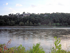
6 miles southwest of Columbia, near McBaine,off Route K. This 4,269-acre wetland area provides 10 miles of stream frontage on Eagle Bluffs.

These marshes provide year-round habitat for migrating and wintering birds as well as apermanent home for wildlife. Theres a large parking lot at the river a long dike on the south side (No Boat Ramp)

There are several Blow Holes (Flood Ponds) and Hatchery ponds. Fishing is permitted but you must have to get a permit for Catching Live Bait at the Conservation office located on Hwy
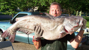
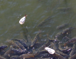
Feeding Frenzy

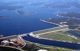
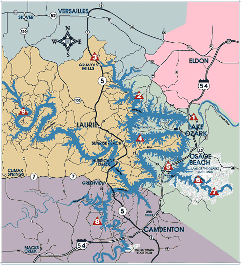
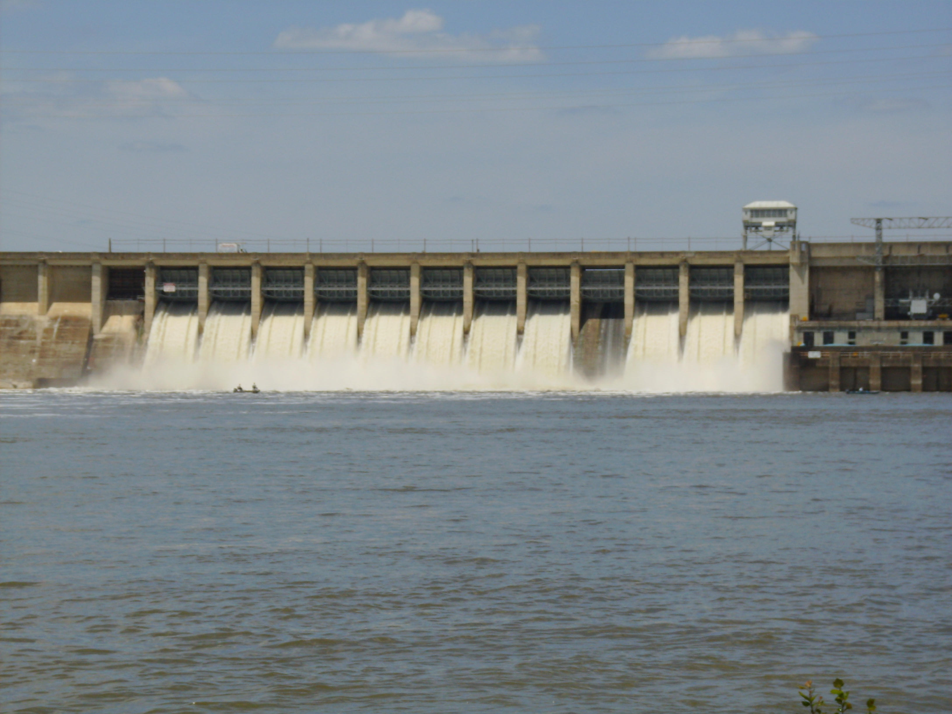
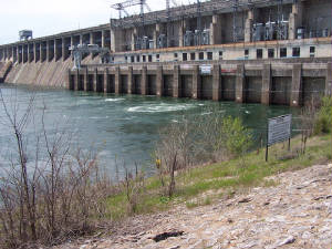
Public Access to Lake of the Ozarks

1. Bagnell Dam Access - Lake Ozark
Lake Road 54-50
South of Bagnell Dam off Hwy. 54
573-346-2210

Bagnell Dam Access Map

2. Coffman Beach Access - Rocky Mount
Lake Road Y-20
14 miles SW of Eldon off Hwy. Y
573-346-2210

Coffman Beach Access Map

3. Gravois Mills Access - Gravois Mills
On Highway 5 next to the bridge
573-346-2210

Gravois Mills Access Map

4. Shawnee Bend Public Access - Sunrise Beach
Hwy. 5 to Hwy. F on Hwy. TT
2 miles from Community Bridge
573-346-2210

Shawnee Bend Access map

5. Pa He Tsi Access (Public Beach #2) - Osage Beach
Lake of the Ozarks State Park
Off Hwy. 54
573-348-2694

Pa He Tsi public Acess

6. McCubbin's Point - Osage Beach
Lake of the Ozarks State Park
Hwy. 54 to Hwy. A off Lake Road A-33
573-348-2694

McCubbin's Point Map

7. Public Beach #1 - Lake Ozark
Hwy. 54 to Hwy. 42
Lake of the Ozarks State Park, Exit #134
573-348-2694

Public Beach #1 - Lake Ozark

8. Larry R. Gale Access - Roach
Hwy 54 to Lake Road AA to Lake Road AA-101D
573-346-2210

Larry R. Gale Access

9. Brown Bend Access
Hwy. 7 to Hwy. DD to Hwy. FF
on Lake Road FF-14
573-346-2210

Brown Bend Access

Missouri River, Sibley, Mo


4reel fishing top fishing sites

hit counter
Get a real time hit counter for your site.

Tell a Friend

Home
Rigs and Baits
Maps and Info
Photo Gallery
Snagging
Video Lounge
Video HTML Codes
Widgets 1
Widgets 2
Catfish Recipes
Links
Link to Us